INTERVIEWFaculty ​ ​interview: Daichi Furuhashi

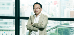
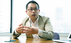
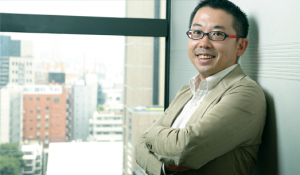
Professor Daichi Furuhashi, Media/Spatial Information Area (Spatial Information)

He studied satellite remote sensing and geographic information systems at Tokyo Metropolitan University, and joined the University of Tokyo Graduate School in 2001. He currently serves as the representative director of Map Concierge Co., Ltd., where his main business is map information consulting.

My work so far

- Active worldwide as a map information consultant using GIS.

I run a company that uses satellite-based GIS, a map information system, to create maps tailored to client needs and provide consulting services. In my previous work, I participated in a project to crack down on illegal logging in the Amazon rainforest. I built a map information system that constantly monitors the forest using satellites. This is unthinkable in Japan, but there are developing countries where even the government does not have a map of their own country. To operate fully and safely in such a world, spatial information skills are essential.

This is what's interesting about my classes

- Based on the motto of "on-site approach," we will develop spatial information literacy, which is essential for overseas activities.
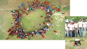
(Photo: On-site survey. Spatial information is collected using drones and panoramic devices.)

For example, when the Haiti earthquake occurred in 2010, the local government did not even have a map to identify the affected areas. So what did they do? Volunteers from various countries cooperated via the Internet, collecting information from companies with satellite images and government agencies in each country, and created a detailed map in just a few days. In my classes, I introduce such examples and methods, and have students actually create maps using Internet devices at hand, such as PCs and smartphones. My motto is to focus on the field. Please learn the literacy to manipulate spatial information in the field.

What other classes are there in the Media/Spatial Information Cluster?

Message to prospective students

-Let's realize the importance of connecting communities globally.

The map-making in the class will use the "Open Street Map" project, which involves volunteers from all over the world. This volunteer activity is supported by communities formed in regions all over the world. It will not be the governments of any country or corporations with large capital that will move the world from now on. It will be how we can connect with people from various regions of the world and share our goals. I hope that the students will come to realize the importance of expanding the circle of people from a global perspective, along with the global community that has come together for the purpose of creating maps, and the great power that this can have.

日本語
English
한국어
简体中文
ภาษาไทย
Translated by AI